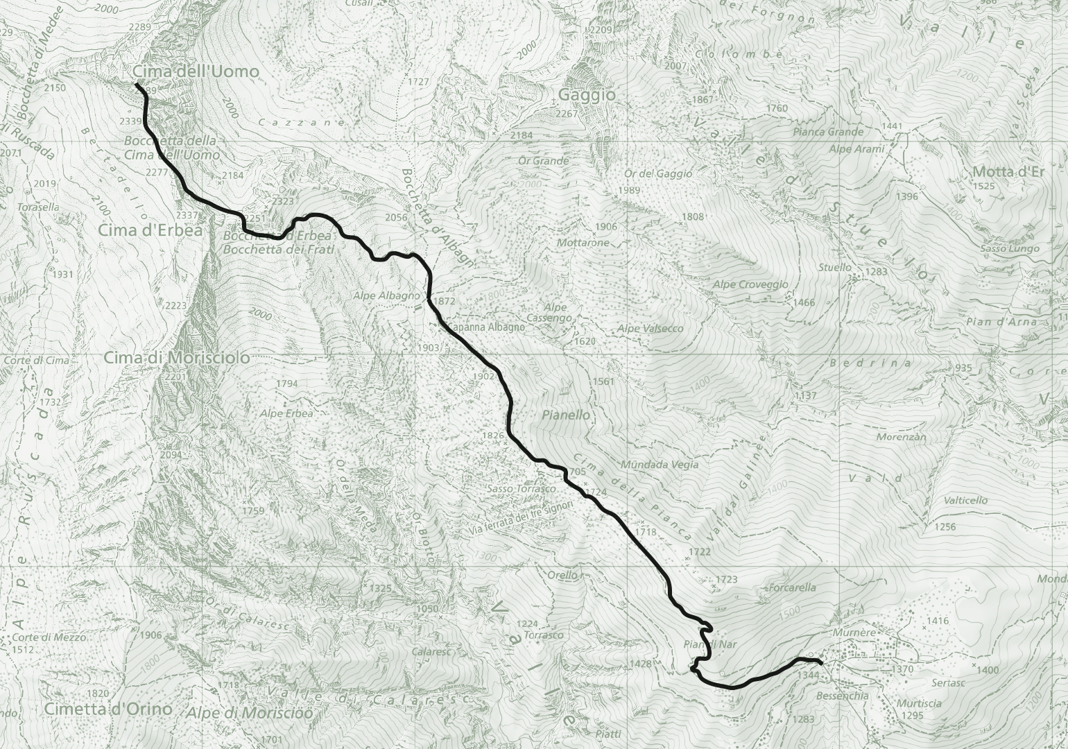
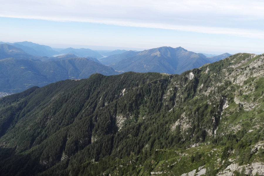
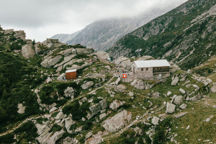
Signposts indicating the trail to Albagno are located at the cable car end station in Mornera. The trail first climbs westward through the woods, then heads northwest. The trail passes by the Pian di Nar pond, then continues higher through the pine woods until emerging into a clearing. The trail continues along the ridge into the Gorduno Valley to reach the UTOE Albagno Hut at 1,864 m a.s.l.
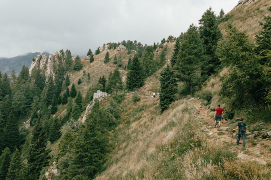
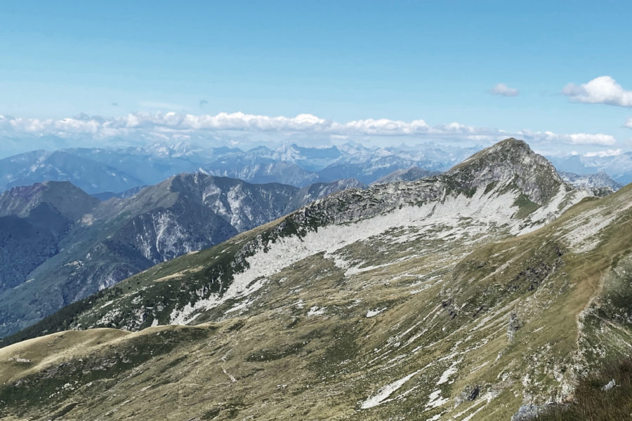
From the Albagno Hut, the trail continues toward Cima dell’Uomo which is not visible for most of the hike. After a 1-hour climb along grassy slopes and overcoming a 400 m elevation difference, the trail reaches the Bocchetta d’Erbea (2,250 m a.s.l.), a mountain pass connecting the Sementina Valley to the Moleno Valley. From here, descend the extremely steep north slope for 60 m and then continue diagonally for another 400 m. Upon reaching the Bocchetta della Cima dell’Uomo (2,280 m a.s.l.) enter “Bertedello” – a massive area of scree to the north of Alpe Ruscada.
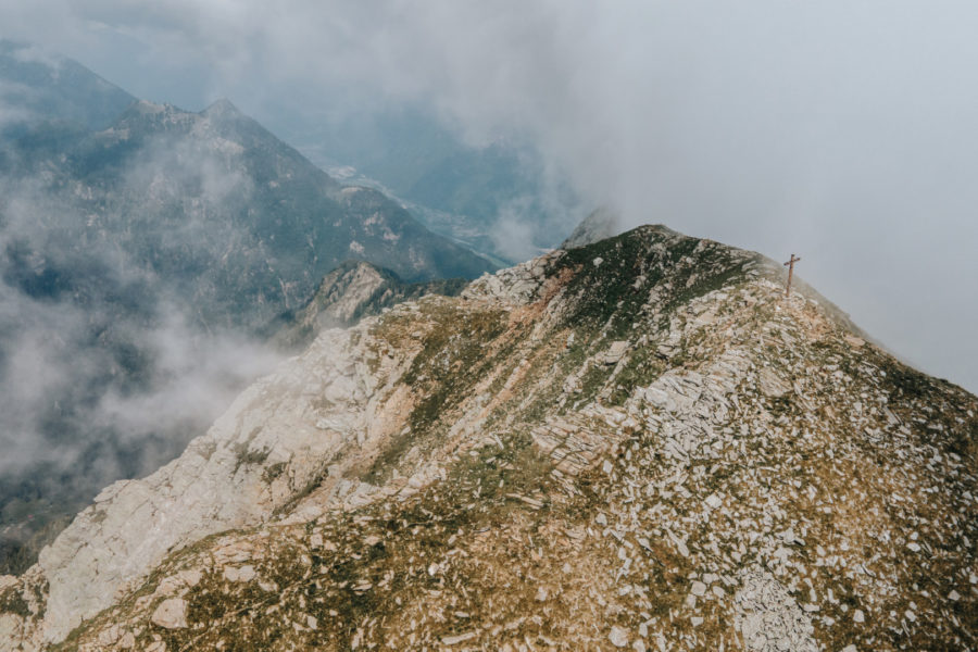
The trail, marked by three bars (white-red-white), continues northwards. Then comes the most crucial point of the hike: a short stretch of rock climbing, with good supports. After completing the climb, hike another 100 m on a nearly flat trail which is, however, flanked by a steep downward slope to the south. Pay very close attention during these few remaining meters.
Difficulty level T4 – see the following link: Scala delle Difficoltà del CAS (montagneticinesi.ch)
IMPORTANT!
General information for summer hikes:
- The durations indicated are estimates based on previous experience.
- The durations can vary according to weather conditions and a hiker’s own level of physical fitness.
- Whoever intends to go on one of these hikes is strongly advised to consult an alpine guide — we suggest contacting CAS (Club Ticino Svizzero).