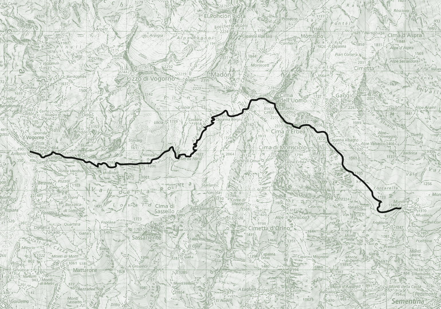
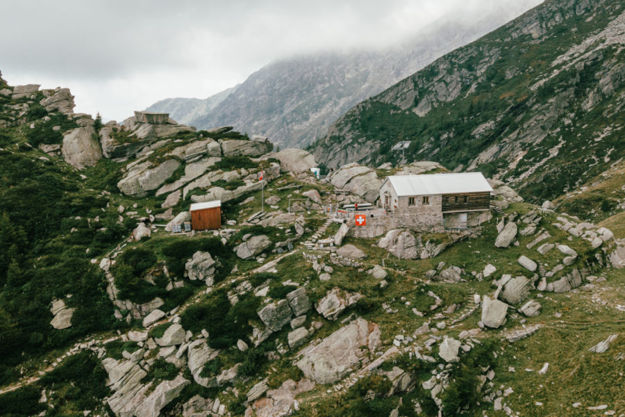
Signposts indicating the trail to Albagno are located at the cable car end station in Mornera. The trail first climbs westward through the woods, then heads northwest. The trail passes by the Pian di Nar pond, then continues higher through the pine woods until emerging into a clearing. The trail continues along the ridge into the Gorduno Valley to reach the UTOE Albagno Hut at 1,864 m a.s.l.
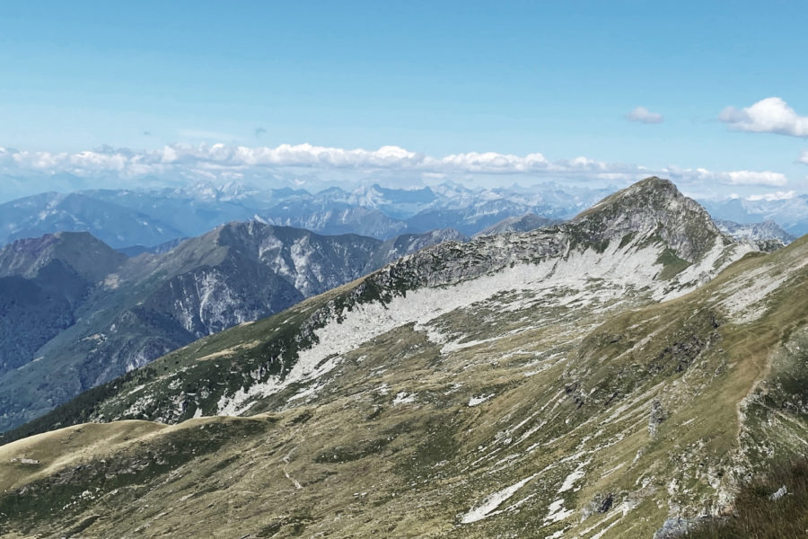
From the Albagno Hut, hike uphill to the west over grassy meadows and stony ground until reaching the Bocchetta d’Erbea. From there, hike downhill to the Preonzo Valley and then uphill towards the Ganne del Bertedello in the upper Cugnasco Valley.
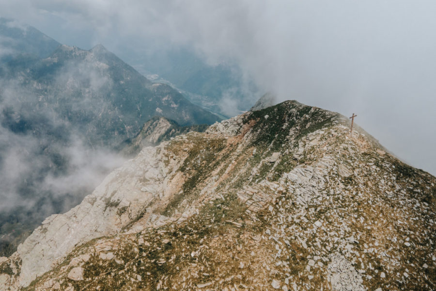
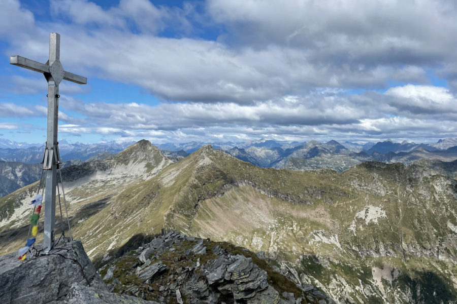
Stop for a rest at the Cima dell’Uomo, then go through the Colletto di Torasella and descend into the upper Val Porta to the Borgna Hut and the top of the Alpe di Mognora. From there, follow the white and red marked trail of Val Porta and pass the Rienza mountains to reach the village of Vogorno.
IMPORTANT!
General information for summer hikes:
- The durations indicated are estimates based on previous experience.
- The durations can vary according to weather conditions and a hiker’s own level of physical fitness.
- Whoever intends to go on one of these hikes is strongly advised to consult an alpine guide — we suggest contacting CAS (Club Ticino Svizzero).